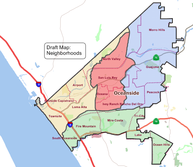
As a result of allegations made by a Malibu attorney, the City of Oceanside is moving to split the city into four districts (of approximately 40,000 residents each), starting with the 2018 elections. To collect feedback from residents, the city solicited emails and held five public workshops last month, and three maps have been developed from those workshops.
At its June 21 council meeting, the council is slated to select exactly one of those maps, which will be formally approved at the July 25 council meeting. The item is fourth public hearing item (which start at 6 p.m.), and the agenda packet is 06-21-17 SR 38. The hearing will be held in the council chambers, on Pier View Way between Freeman and Ditmar; information on emailing the council is found at the council web page.
All three maps keep South O together with Fire Mountain. Two of the maps — “Communities of Interest” and “Neighborhood” — combine South O with the entire Hwy 78 corridor. The third map (“Shoreline Intact”) combines South O with downtown, Townsite and the Harbor. The maps are shown below.